
What Is GPR Scanning
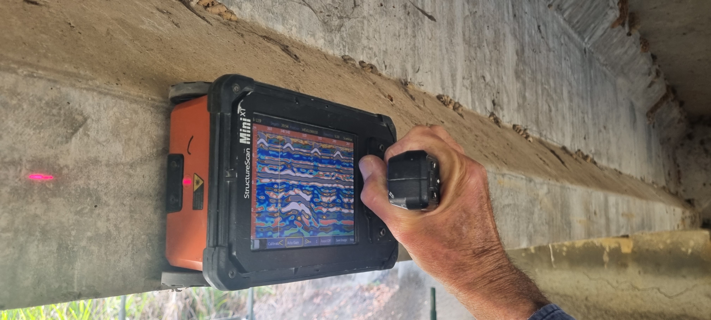
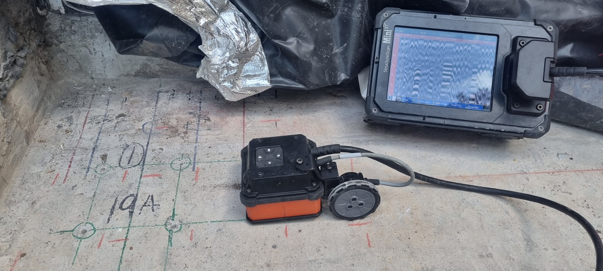
Ground Penetrating Radar (GPR) is a geophysical non-destructive method used to produce images of the subsurface. It uses radar pulses to produce reflections which enable the user to identify and map features buried in the ground or in man-made structures.
Two of the main uses for GPR are concrete scanning and utility locating/mapping. It is necessary to complete these tasks prior to any excavations, whether it be for ground or concrete. Aristoscan has the GPR equipment available to complete this work. Please head to our services section to see a more detailed description of these.
There are many other uses for GPR and it is becoming more widely recognized and accepted in other fields. These include but are not limited to, geological work, earth sciences, finding unmarked graves, tree roots and rail line ballast.
As with all equipment, GPR does have some limitations in its use. Ground and soil conditions, weather and the properties of the object you are trying to locate, all play a part in the success of a GPR survey. If you are unsure if GPR can be used in your situation, please contact us and we can assist you to determine if we can help you with your project.
